
Guess this is the halfway point, time to head for home.
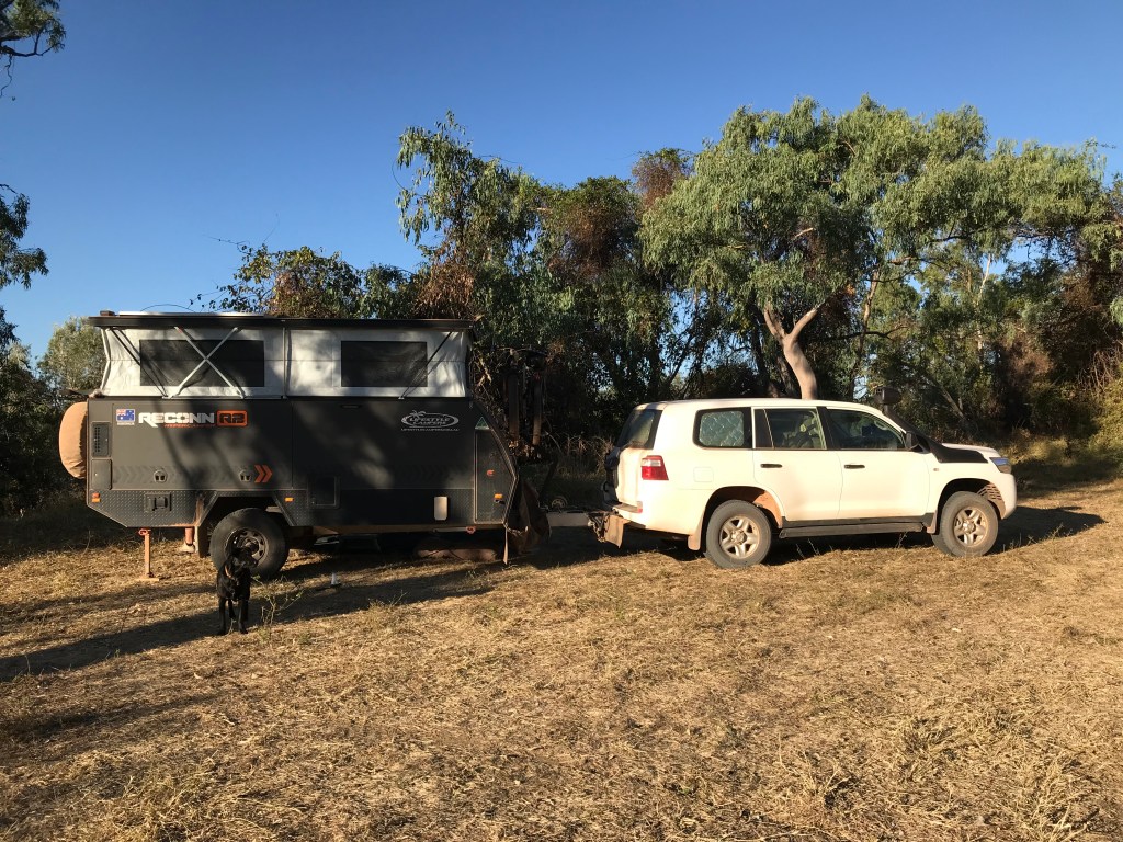
- Feature Photo: Rodgie investigates the Mitchell River crossing on Cape York Peninsula.
- Week 9, Australia Pandemic Tour Travel Diaries.
- 5/08/21 to 11/08/21
- Day 57 to 63
- Loyalty Beach, Bamaga to Kajabiddi Gravel Pit (south of Normanton), Queensland.
- 1174kms (total since home, 10033kms). More rough dirt roads and big river crossing, the Mitchell River !
1/09/21. Back again, coming to you from somewhere in South Australia. If any of you heard on the grapevine that we had an issue with Rodgie dog I just want to let you know she is on the mend and will be fine. Not long until we can cross the WA border and arrive home. I bet Rodgie will be happy and shocked when that happens in the not too distant future, I can imagine it now when she sees the backyard. Jenny and I are fine, just feeling a bit of pandemic induced government regulation travel fatigue. My mosquito borne virus symptoms that developed at Cape York have all but disappeared which is good.
You have a travel plan but continually have to adapt and change it to accommodate the “emergency rules” it gets tiring. The good news is Australian’s are still great people. We haven’t met anyone during this trip that you would call “bad”, but a lot of them are scared at the moment, afraid of the unknown, fines, lockdowns, food shortages, getting sick, etc. We understand, often we have similar feelings. The current fear campaign is huge it does get to you.
Week 9 edition takes you along with us from the Tip of Queensland through the back way to Normanton. There’s lots of dirt roads, dust, free bush camping and new sights for us to see.
Let’s go !
~~~~~~~~
Day 57, Thursday, Date: 5/08/21
From to where: Loyalty Beach (Bamaga) to Moreton Station
Distance: 265kms , 9.20am to 4pm
Accumulated Distance: 8924km
Cycling Y/N, KMs:
Fuel $: 106.87 @ $2.05per litre
Litres: 52Ltrs, economy = 16.5ltrs per 100km all headwind today.
Accom type & cost: $24 camp ground fee Moreton Station.
Grocery Food $: 33 at Seisia
Take away food $:
Beer/Wine/Soda $:
Other $:
Day Total $: 164
Rolling Total $: 8287
Gopro footage: GP8
DJI Drone Footage: yes Loyalty Beach
Weather: 30C very strong South East wind, head wind, some clouds.
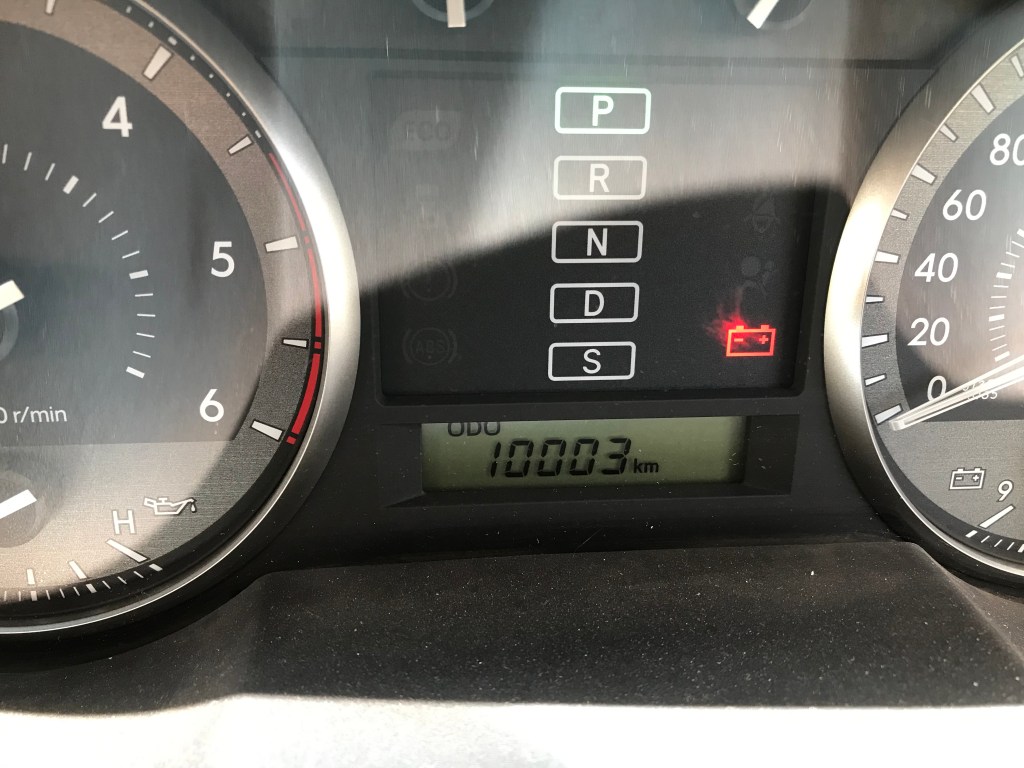
Notes: The long journey home, LC200 hits 10003kms.
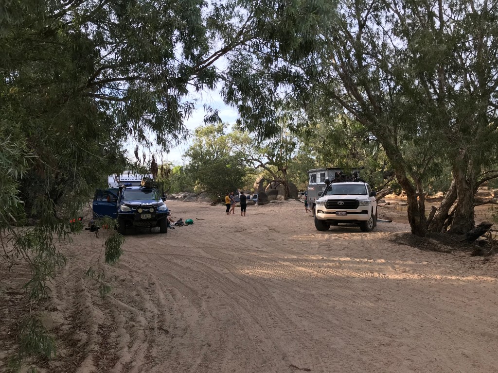
We begin our long trip south, but first we call into Seisia to buy some food supplies and complete week 5 blog upload while sitting on the beach. It doesn’t take long to get back to the Jardine River crossing and we’re waved straight onto the barge behind a community Coaster Bus. It’s a tight fit and the rear of the camper is hanging over the water.
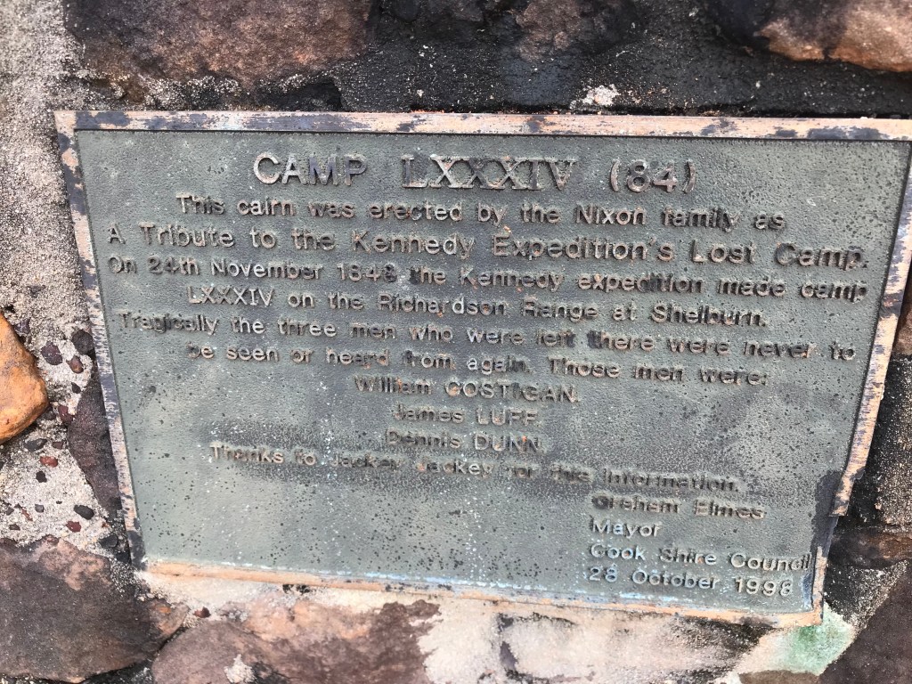
The traffic seems to have eased, but there are still the occasional dangerous driver out there to be aware of. We stop for a break at a road side stop and memorial to Kennedy Expedition, lost camp 34, 24th of November, 1848. I notice we’ve lost a bow shackle on the safety chain that you connect from the trailer to the car. I’m the person who connected it and am surprised it’s worked loose and fallen off. First time that’s ever happened to me, not to worry I have a load rated spare D-Shackle in our recovery kit. Dogs in, Wife in, let’s go…
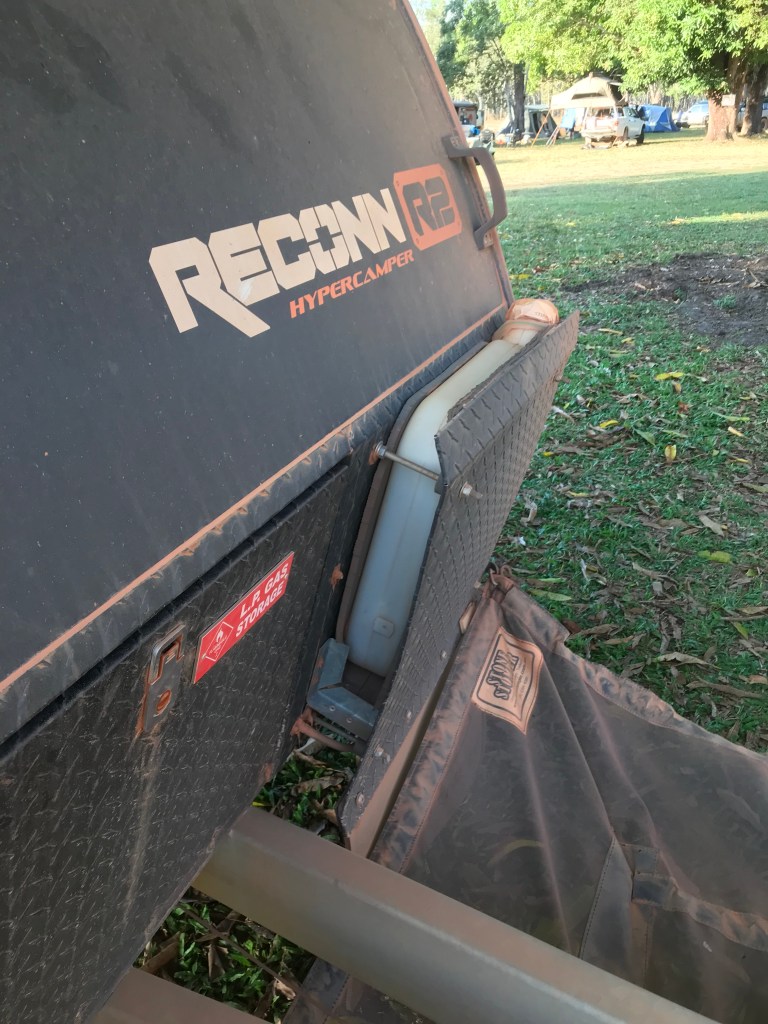
The strange symptoms I’ve been feeling for the past few days persist and I now have a weird burning sensation in my hands. Once we were set up at Moreton Station I headed over and met Jim and Jo who are travelling with a Reconn2 like ours. They had done some home modifications, some good and some wouldn’t suit us. Overall not to bad of a day.
~~~~~~~~
Day 58, Friday, Date: 6/08/21
From to where: Moreton Station to Archer River Free Camp.
Distance & time: 123kms (check), 1100-1300= 2hrs
Accumulated Distance: 9047km
Cycling Y/N, KMs: no
Fuel $:
Litres:
Accom type & cost: free, on Archer River
Grocery Food $:
Take away food $: 23 Moreton Station
Beer/Wine/Soda $:
Other $:
Day Total $: 23
Rolling Total $: 8310
Gopro footage: GP8
DJI Drone Footage: no
Weather: overcast, 27C, SE winds
Notes: Didn’t go far enough today ?
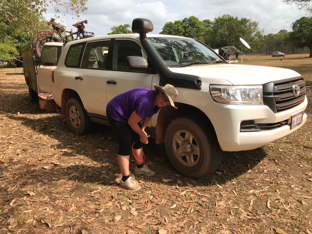
After an enjoyable walk around the 2.5km Moreton Station bush track it was time to go. We had already packed up our camper so all that was left to do was air up the tyres as the road is much improved from now on. The tyres on the car were at 30psi and trailer 35psi, Jenny pumped them all up to 38psi front, 40psi rear and 45psi trailer.
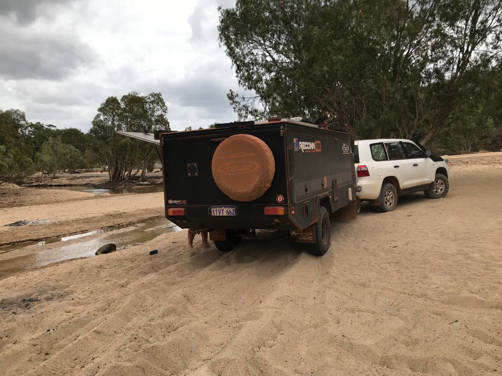
It’s a relatively easy drive down to Archer River with a final 20km section of bitumen. When we arrived at Archer River there was only one other vehicle set up in there. We decided to stop for lunch, I carefully drove off the concrete floodway ledge onto the sand, I went to do a U turn to place the car and camper into a position where we had a view of the river and exiting would be easier. Then the next thing you know I’m bogged, I nearly managed to get out with low range 4WD and crawl control but the Dunlop highway terrain tyres were to hard to gain any significant traction.
Jenny was shitty we were bogged and went off to chat to an older couple who had driven down from the nearby Roadhouse in an identical Landcruiser to ours, they did offer to assist but I passed and said once my tyres are down I’ll get out, which I did.
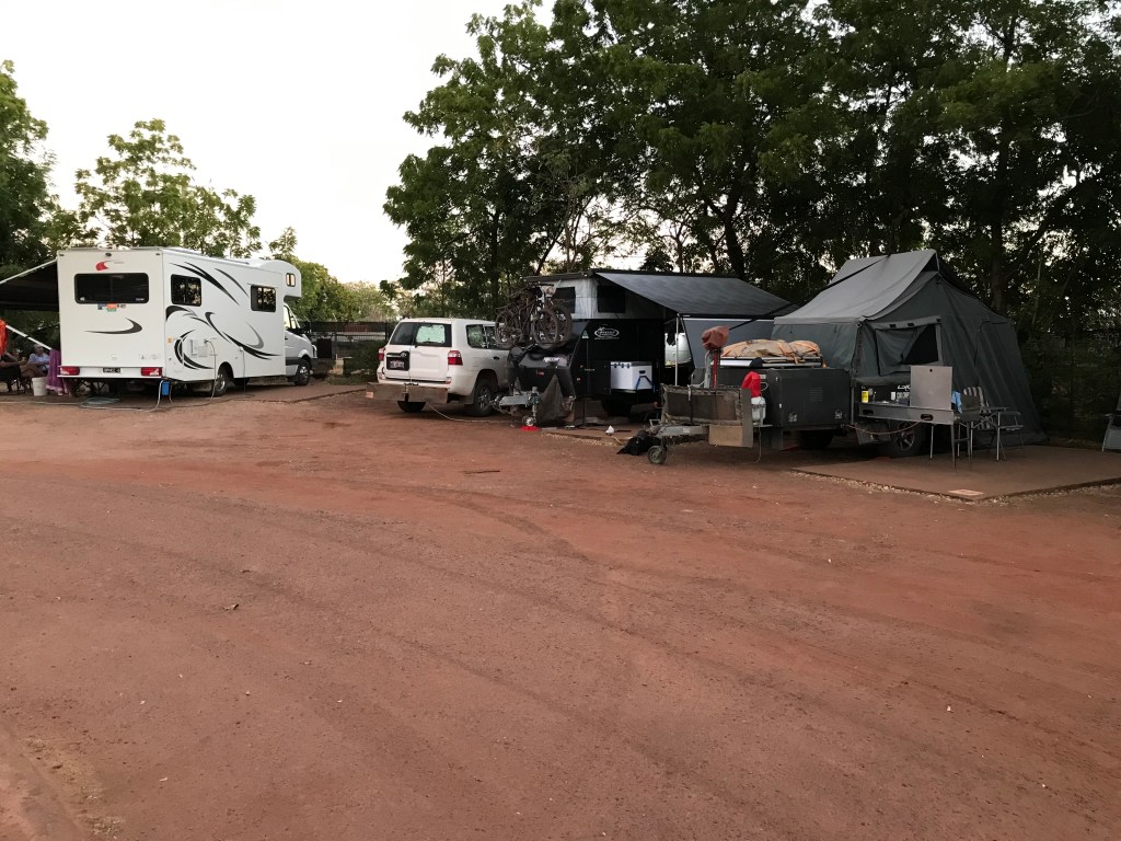
By the time we finished lunch it’s after 2pm, Rodgie enjoyed herself swimming in the river and playing with some kids from Dunsborough WA who are on a year tour and other kids from a second caravan from Newcastle NSW. After more chitter chatter with people who informed us that no dogs are allowed at the Coen Caravan Park I make the call and decided we will just spend the night here. There ended up being us and 4 other camping outfits ranging from 18yo Isaac and his girlfriend in their old Nissan Xtrail with a tent, Anton and Jo around our age with an ARB rooftop tent on a Mazda BT50 and the two young families with there large caravans.
Jenny and I sat around the fire that Anton and Jo had sorted out, the two 18yo joined in and we swapped the usual travel tales before going to bed at 9.30pm. What ever I’ve contracted is weird, muscle fatigue, burning skin and extra sensitive fingers, lips and tongue. No headache, visible rash or sore joints, just a dull, persistent ache in my arms and leg muscles, very strange. I’ve checked all over for a paralyse tick but now suspect some sort of mosquito born virus like Ross River or Barmah, very strange.
We enjoyed our short time with Anton and Jo from Hervey Bay and I got Anton’s phone number to message him later, when I finally had phone reception I realised I was missing a digit, so Jo or Anton if you read this send us a message.
~~~~~~~~
Day Saturday 59, Date: 7/08/21
From to where: Archer River to Dixie Road (56km from PDR turnoff).
Distance & time: 253km 1000-1600hrs
Accumulated Distance: 9300km
Cycling Y/N, KMs: no
Fuel $: 115, @ 176cpl, Musgrave
Litres: 65L , economy 19L per 100km, unsure why so high ?
Accom type & cost: Free, road side stop near billabong, on 8 mile creek, Dixie Road (56km from PDR turnoff)
Grocery Food $: 82 Coen
Take away food $: 23 Archer Rv + $12 Musgrave = $35
Beer/Wine/Soda $: $155, Coen, block of beer bottle of rum
Other $:
Day Total $: 272 plus diesel 115 = $387
Rolling Total $: 8697 (average daily spend = $145 per day)
Gopro footage: GP8
DJI Drone Footage: no
Weather: 27C some high level sirus clouds
Notes: We turn South West onto Dixie Road.
Just south of Musgrave is the turn off to Artimus Station, it takes us in a South Westerly direction towards Normanton (approximately 200kms of single lane dirt road that eventually connects onto the Burke Development Road). It’s called Dixie Road. There are many floodways and creek crossings so you can’t go any quicker than 60km/h or you will be smashed by a dip into a creek crossing that will sneak up on you.
Our day started off in a rather relaxed fashion, Jenny is the first to “commission” the onboard toilet, then coffee and chats with our fellow campers. Jo and Anton got away fairly early, the little Reconn and two big vans were on the road at 9.30am. The young families were heading north, Jenny and I travelled 500 metres to the Archer River Roadhouse, we bought HCT Toasties, relieved ourselves in the facilities, disposed of our rubbish and pumped up the car tyres to normal running pressures.
Easy enough drive heading south, I don’t recall anyone driving too stupidly today. There was a lot more traffic than yesterday. At Coen we resupplied our food and booze. Once at Musgrave we topped up our diesel. The petrol V8 100 Series Landcruiser at the fuel pump wouldn’t start so I waited for quite awhile then got out to see if the bloke needed a hand, he looked quite flustered, his two young daughters and wife milling about in the shade nearby. He said his starter battery seemed to have died so I offered to jump start him. Click, click, click. I readjusted the jumper leads, more clicking , then success. My best guess is his starter motor is just about dead. It could be worse for him, at least it’s happened at the Musgrave Roadhouse and not in some random gravel pit.
He moves his old battered Landcruiser and camper trailer out of my way and I filled up. Towing the Reconn2 Camper we have a definite range of 800kms, possibly up to an extra 100kms in reserve if we drive economically and the conditions are conducive. The road we are taking to Normanton is pretty much a Station track and very isolated, we will need to drive very conservatively and with great care, it will take us 2 days to cover the 400kms, there is also a very large river crossing towards the end of the drive. The Mitchell River, it takes 2 minutes to drive through the water crossing. Just a bit nervous about that because back tracking isn’t a favourable option !

~~~~~~~~
Day 60, Sunday , Date: 8/08/21
From to where: 8 Mile Creek, Dixie Road to Smitheburne River, Burke Development Road.
Distance & time: 298km, 0940-1700hrs
Accumulated Distance: 9598kms
Cycling Y/N, KMs: no
Fuel $:
Litres:
Accom type & cost: free but illegal, no trespassing signs everywhere .
Grocery Food $:
Take away food $:
Beer/Wine/Soda $:
Other $:
Day Total $: 0
Rolling Total $: 8697
Gopro footage: GP8
DJI Drone Footage: yes, Mitchell River crossing
Weather: 32C , some clouds mild SE wind.
Notes: Too much cattle & not enough camping opportunities.
I’m still feeling weird, muscle fatigue in legs and arms, hypersensitive fingers & skin seem to be the main symptoms. I guess it’s been a week or more now since this started. Vision is normal, no headaches or other problems. Yes I’m a bit concerned but not much I can do about it until Mount Isa.
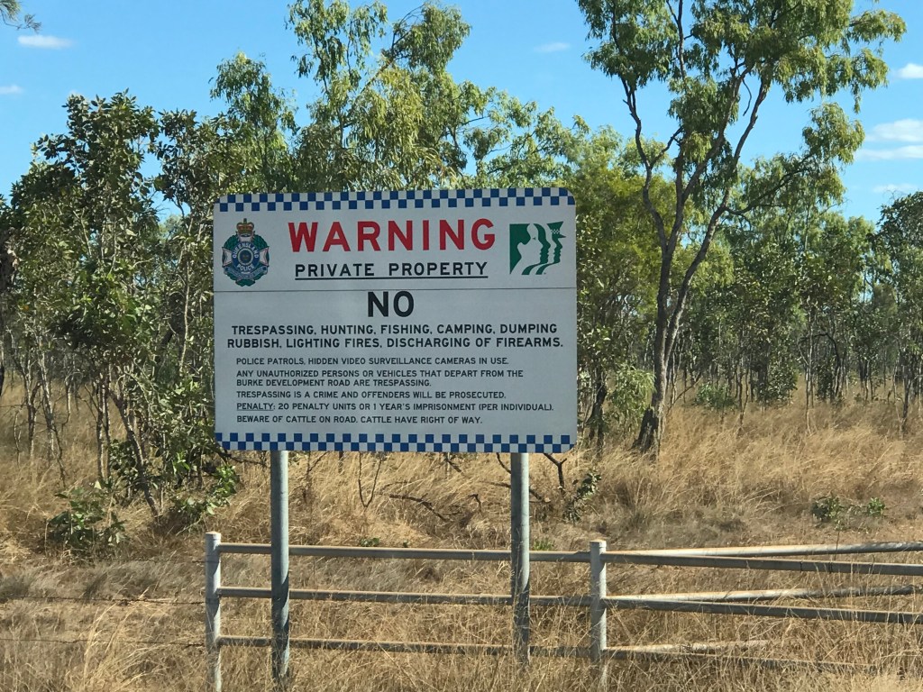
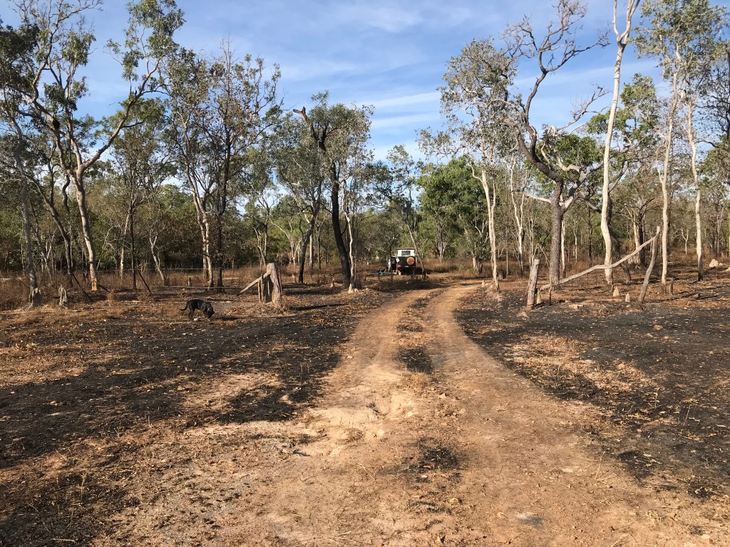
Today turned out to be a huge one, we nearly did 300kms, mainly on average quality dirt roads. Didn’t find a camp site until 5pm and where we stopped is probably illegal if you believe the “Warning No Trespassing, Offenders Prosecuted, Fined and Possibly Jailed” signs everywhere. Wow that’s serious penalty for someone who is too tired to drive any further.
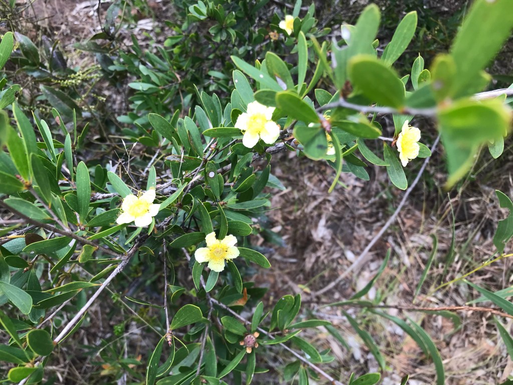
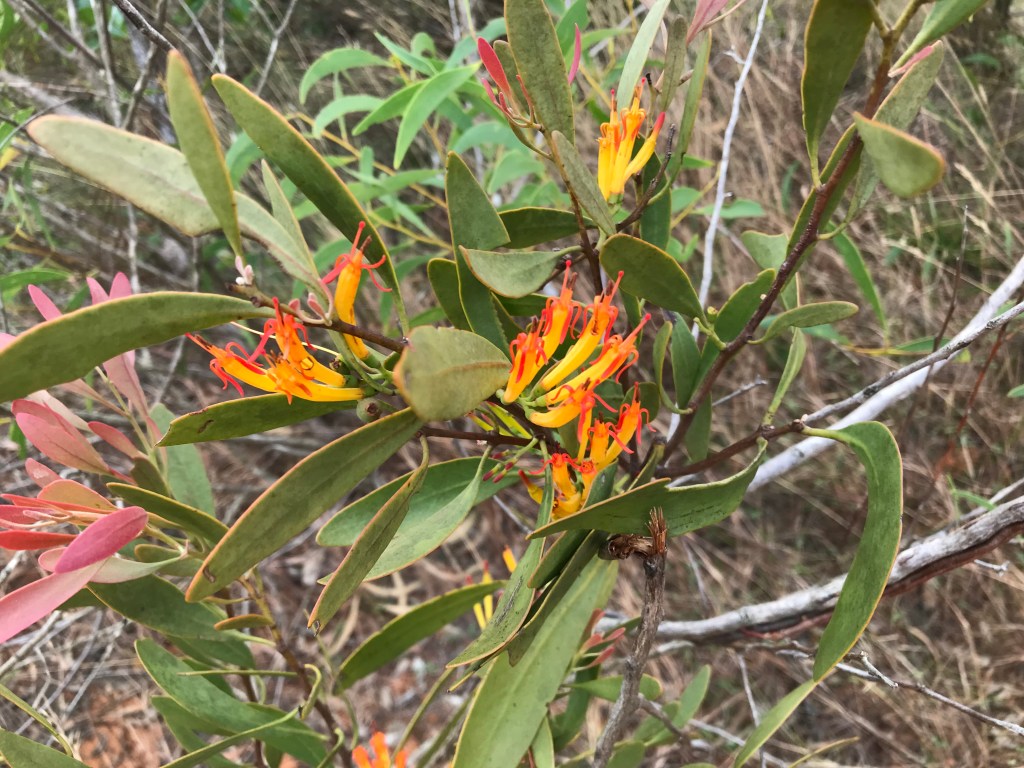
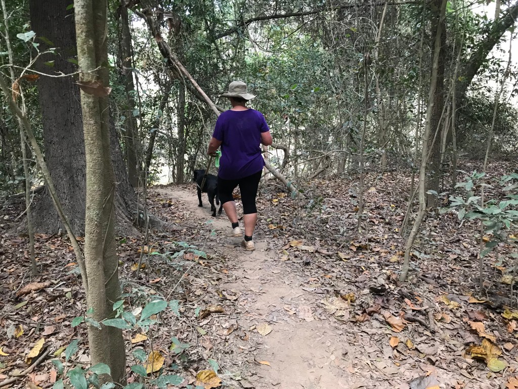
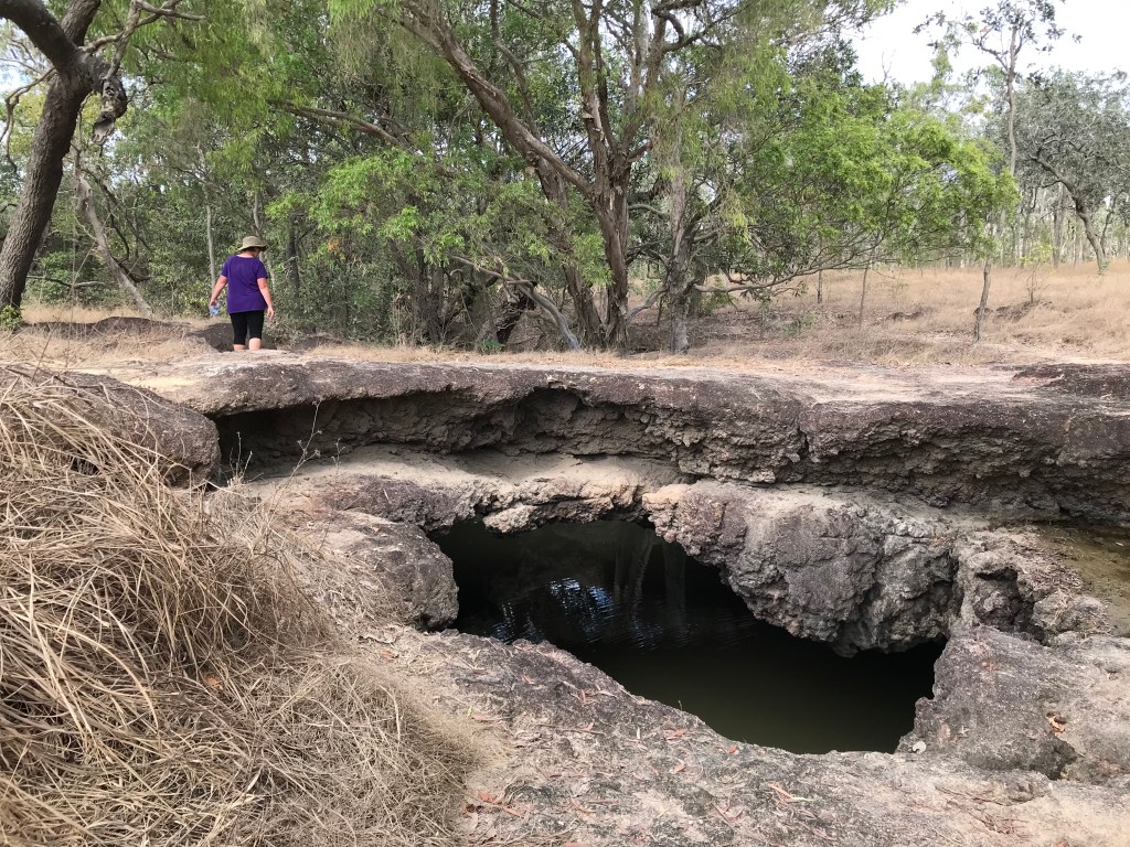
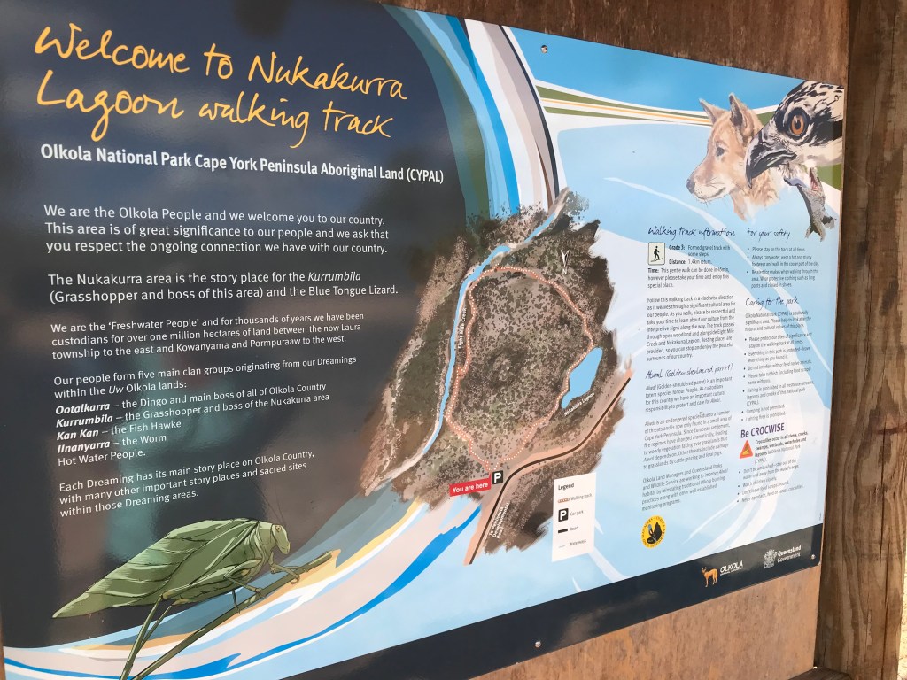
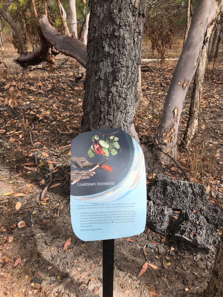
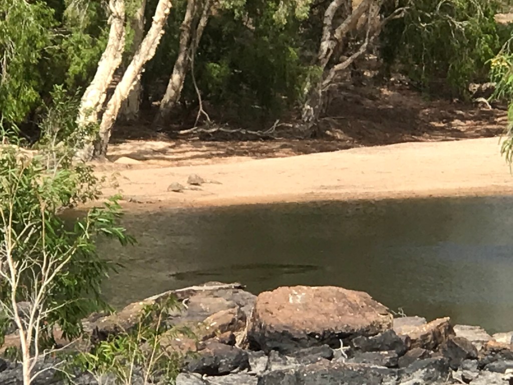
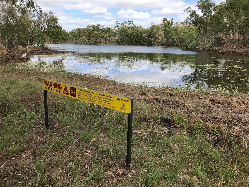
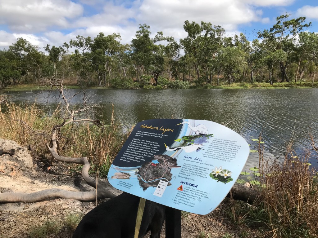
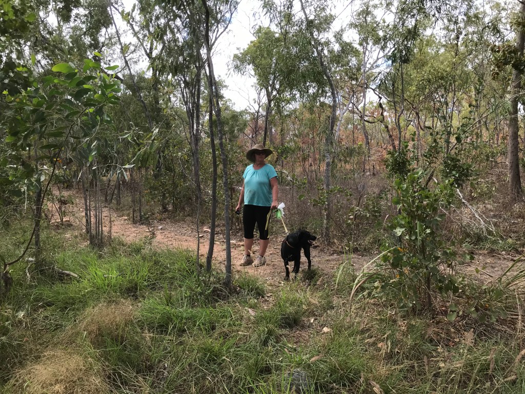
Our day started off normal, packed up and on the road by 9.40am, it’s going to end up being a hot 33C. After 17kms we arrive at Olkola National Park (& Nukakurra Lagoon) it was one of our targeted camping spots. There is a level 3, 1.5km bush walk which the signage advises will take 45 minutes. It’s a good walk and there are info signs with pictures explaining the different bush tucker and medicine as you make your way around the loop. We also saw about 5 crocodiles, they were 1.5 to 2 metres long, very skitterish so hard to have a good look but I suspect they were all fresh water crocs.
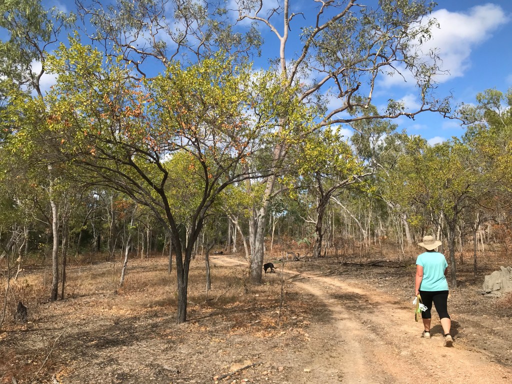
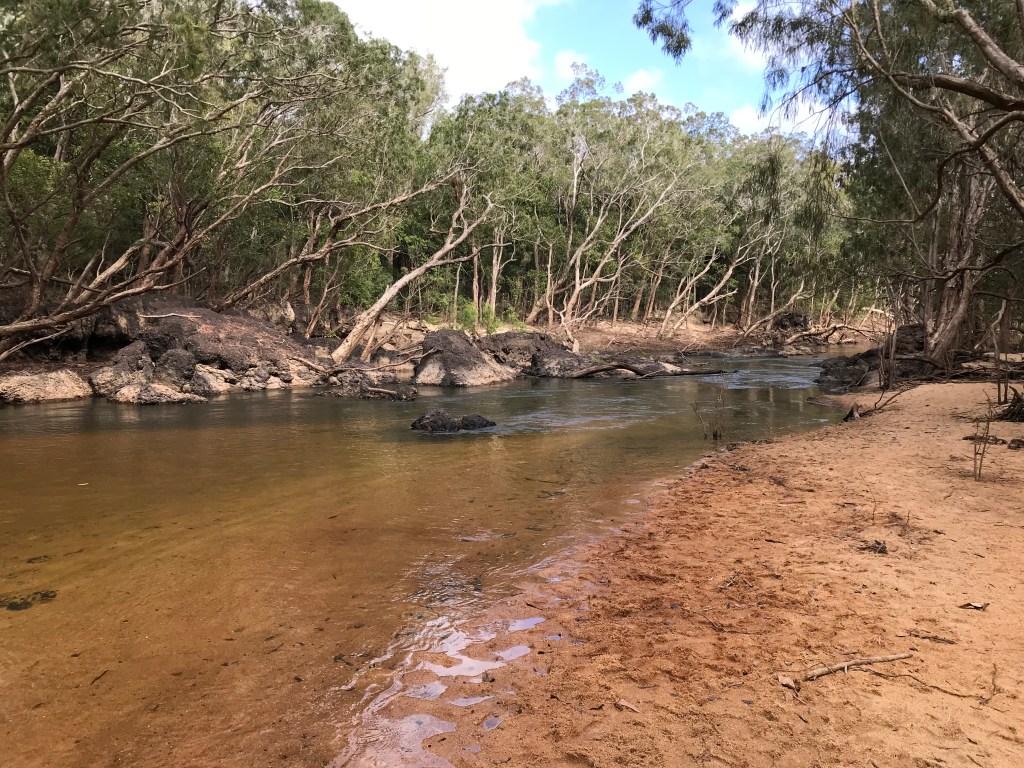
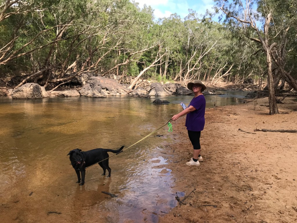
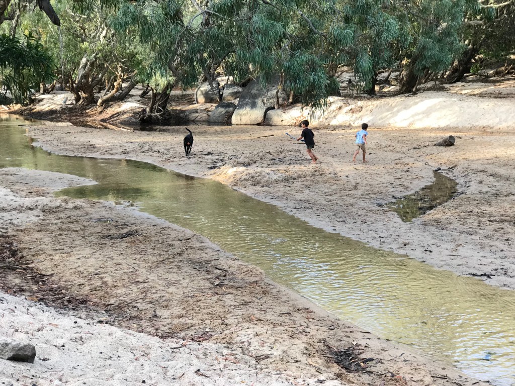
Back on the road it’s at the 130km mark we arrive at the Mitchell River. It is just before 1pm so we stop in the shade near the river for lunch. I let Rodgie dog out of the car, she immediately spots a wallaby and is off, arrgghh ! Rodgie returns about 10 minutes later exhausted and hot. Neither Jenny or I are amused with her. The lunch break turns out to be 30 minutes, hopefully enough time to let the diffs and transmission cool down a bit before the risky 500 metres water crossing.
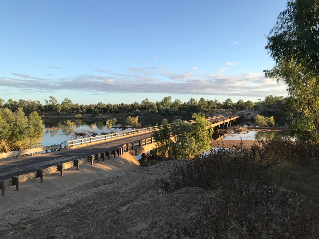
To negotiate the Mitchell River crossing takes over 2 minutes, the second section is deeper and water flowing stronger. There are rubber mats layer out for traction but some are missing and in their place are holes. Fortunately the water is clear enough to see the missing mats and there is enough room to avoid potential disaster. The deepest the water got to for us was 20cms up the camper door so about 800mm, deep enough !
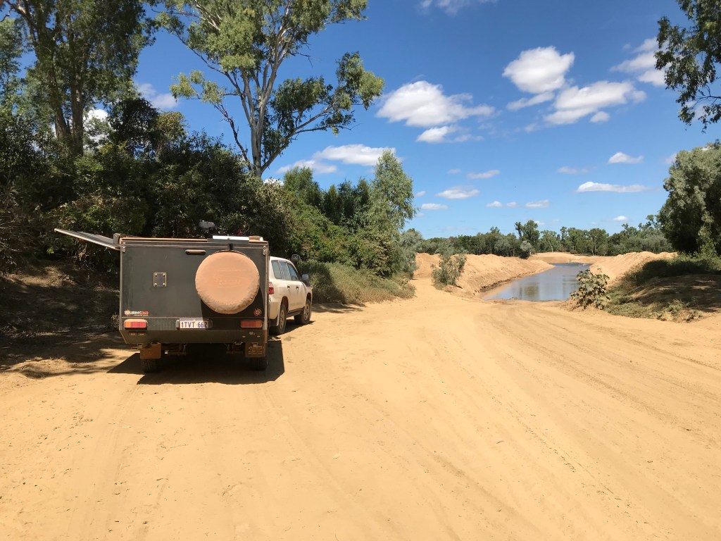
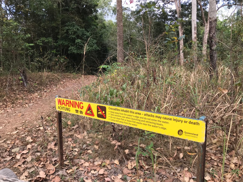
Not long after the river crossing you get onto the Burke Development Road. Rougher more corrugated dirt with bull dust holes, lots more traffic and some very large road trains carting road base. It’s all cattle country out here and the pastrolists don’t like tourists or travellers judging by the serious looking warning signs. Finding a camp site proves problematic, as the late afternoon wears on I have one near miss with a large wallaby or small kangaroo. Both Jenny and I are tired and worried.
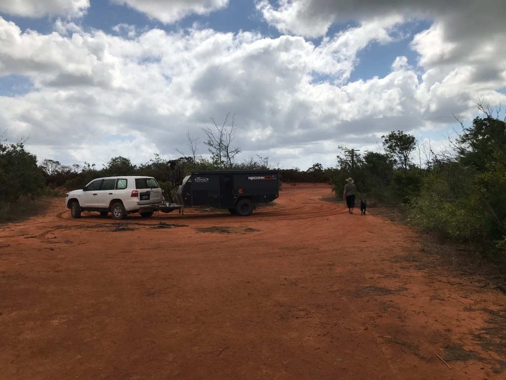
It’s 5pm when we reach the Smithburne River, a large river with water and a single lane concrete bridge crossing it. More warning signs about trespassing, fishing, camping, hunting, shooting, etc. but enough is enough, Normanton is still 80kms away, the sun sets in 1 hour and one of our main travel rules is no night driving unless it’s an emergency. We pull into a side track and drive a little way along the southern bank towards the east. There are a couple of other like minded campers there.
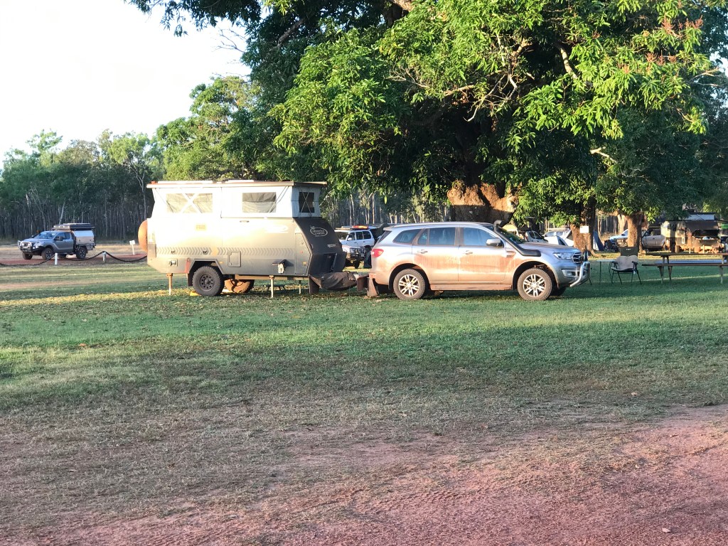
Tony, Anne from Yorke Peninsula, South Australia. Paul and Claire from Mackay Queensland (travelling in a Reconn4 similar to ours but bigger). After scoping out the area we finally park about 30 metres away from the others. Later we sit with them and talk about travels over a couple of beers. Whoa big day !
~~~~~~~~
Day 61, Monday, Date: 9/08/21
From to where: Smithburne River to Normanton
Distance & time: 103kms, 0900-1040hrs
Accumulated Distance: 9701kms
Cycling Y/N, KMs: no bikes are filthy and need a big clean/lube job.
Fuel $:
Litres:
Accom type & cost: $70, 2 nights Normanton Tourist Park.
Grocery Food $: 25
Take away food $: 23 pie coke bread.
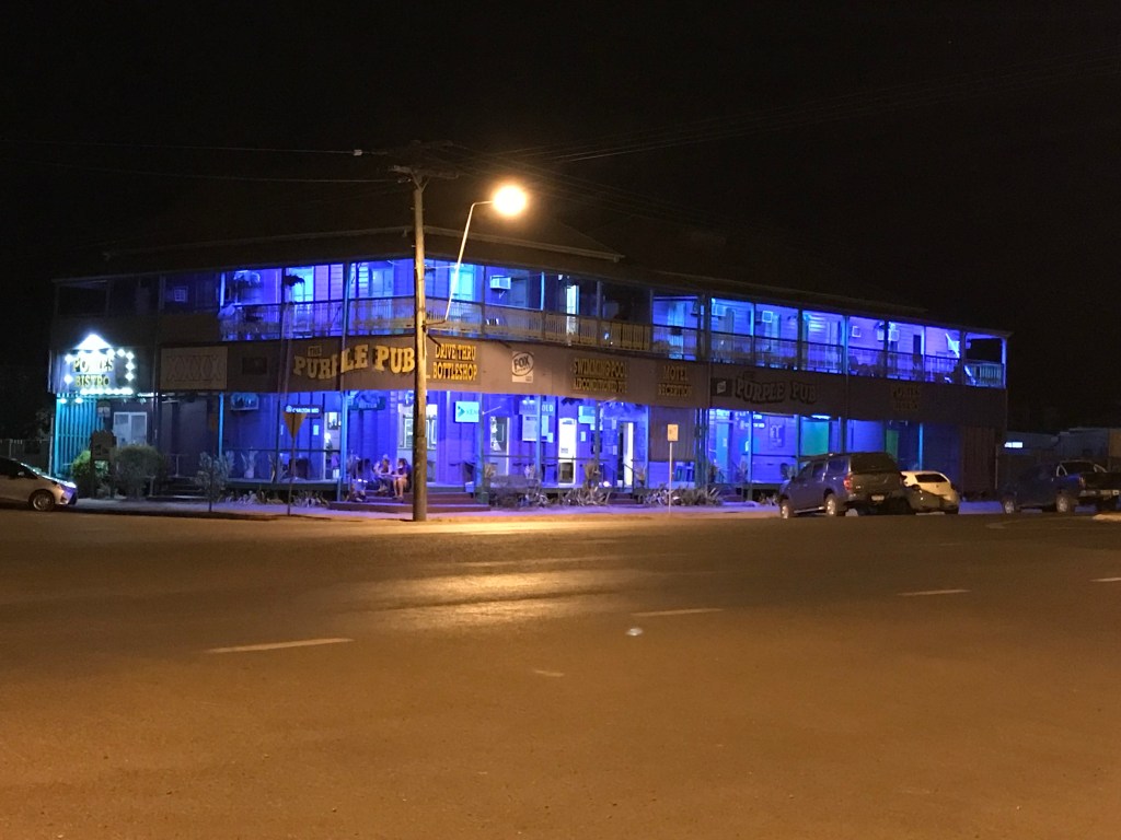
Beer/Wine/Soda $: 28, Purple Pub. Beers at bar.
Other $:
Day Total $: 146
Rolling Total $: 8845
Gopro footage: GP8
DJI Drone Footage: no
Weather: 32C hot and fine some moderate wind.
Notes: Rest and Relaxation in Normanton.
- Arrived slightly early into Normanton,
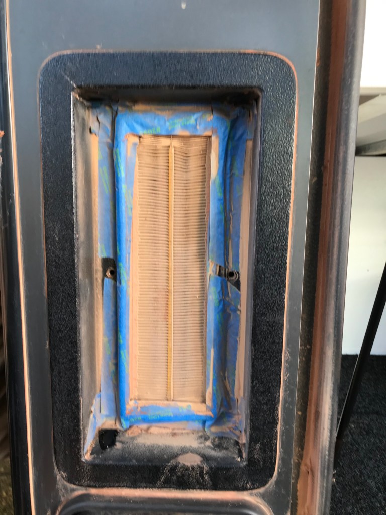
- Managed to finally reset battery controller after over 2 weeks stuck in calculating mode?
- Rang family, Dad had a nasty fall, but will be ok.
- Spoke to all our children also all ok.
- Pretty sure I’ve contracted Barmah Forest Virus.
~~~~~~~~
Day 62, Tuesday, Date: 10/08/21
From to where: Normanton Qld
Distance & time: 10km
Accumulated Distance: 9711km
Cycling Y/N, KMs: no
Fuel $:
Litres:
Accom type & cost: payed
Grocery Food $: 53
Take away food $:
Beer/Wine/Soda $: 62 block, 21 drinks = $83
Other $: 55, dinner at Albion Pub
Day Total $: 191
Rolling Total $: 9036
Gopro footage: GP8, wetlands
DJI Drone Footage: no
Weather: 33C Fine
Notes: Hanging around in Normanton.
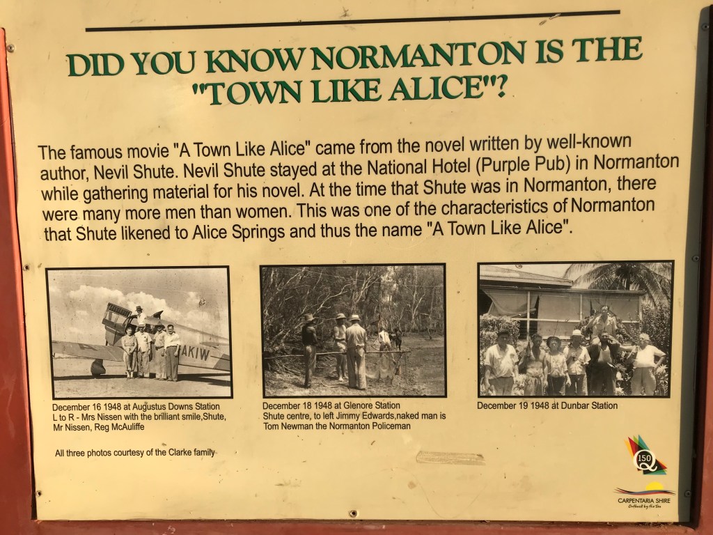
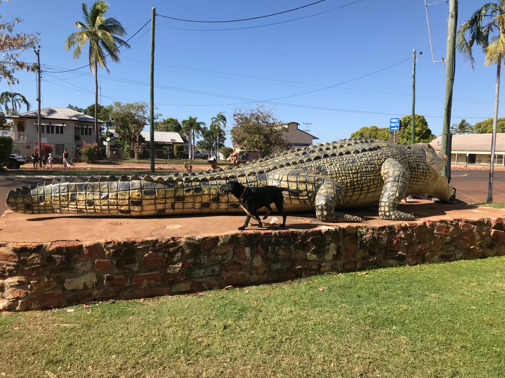
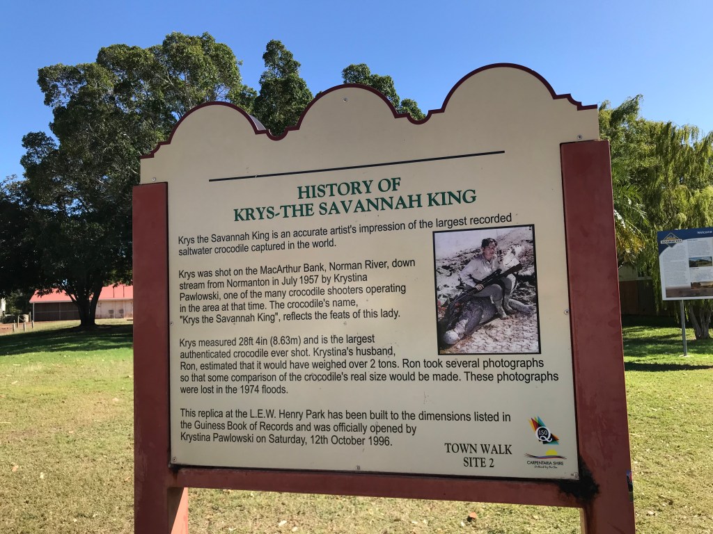
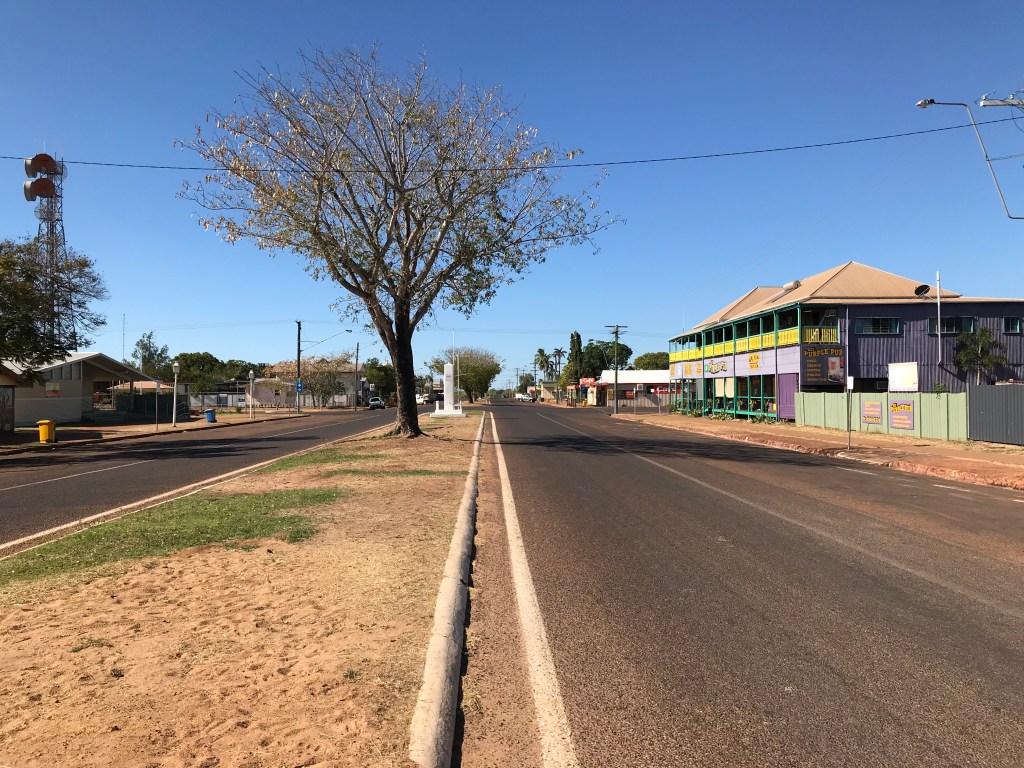
Did you know that Normanton is the town featured in the famous Australian book written by Nevil Chute, A Town Like Alice ? Also it’s where the largest ever crocodile was shot, need to fact check but it was about 8.6 metres long. It’s an interesting town, established 153 years ago.
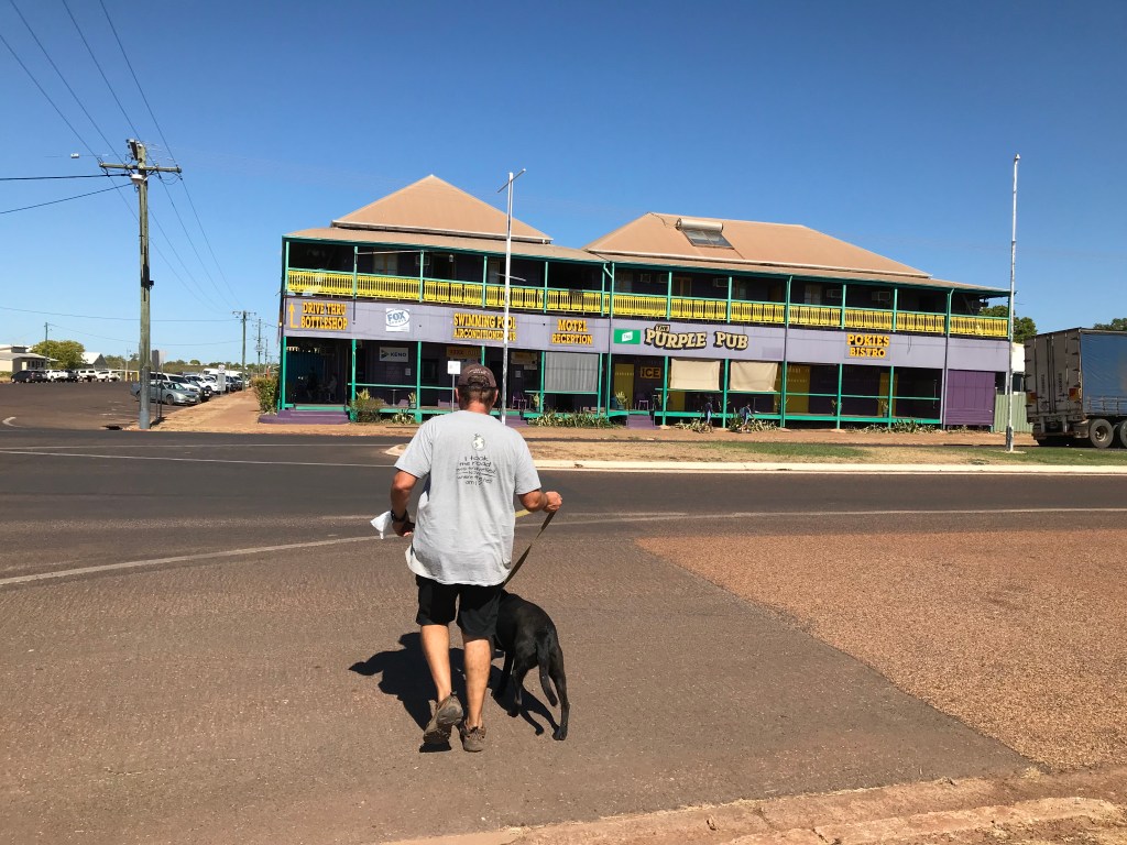
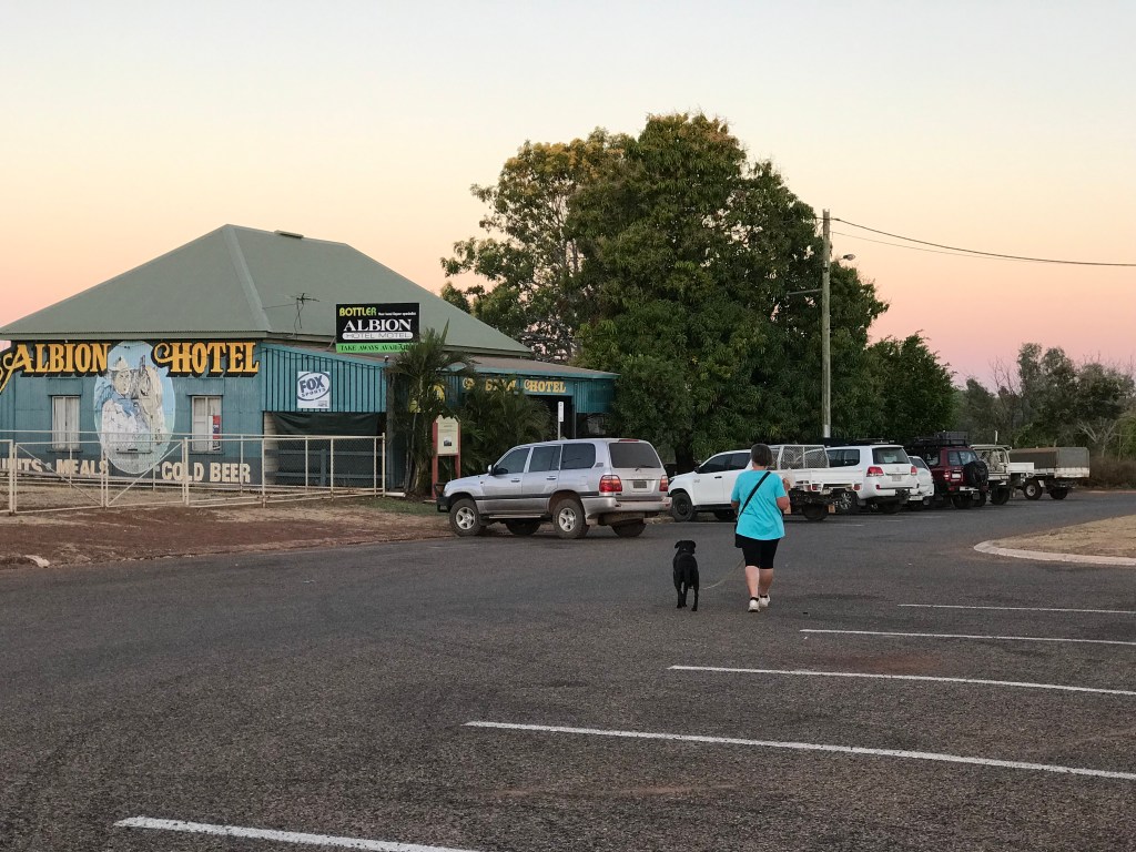
There are 3 Pubs, the Purple Pub, Central & Albion. Population is only 1000 people. The streets are extra wide, the caravan park we are staying in once housed the town pool and has an artisan bore.
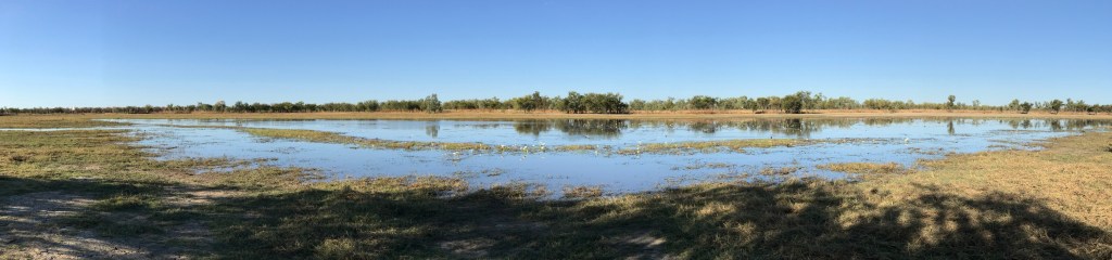
Jenny and I just caught up on jobs today, we did head a short distance out to look at the wetlands and watch the water birds. Later we finished off our day with a good Pub meal at the Albion Hotel.

~~~~~~~~
Day 63, Wednesday, Date: 11/08/21
From to where: Normanton to Kajabiddi Gravel Pit.
Distance & time: 320km, 1000-1530hrs
Accumulated Distance: 10033km
Cycling Y/N, KMs: no
Fuel $: 125 @ 159.5cpl
Litres: 78.3L, economy 15.7L per 100km
Accom type & cost: free, Kajabiddi Gravel Pit
Grocery Food $:
Take away food $: 10, drinks at Burke & Wills Roadhouse
Beer/Wine/Soda $:
Other $:
Day Total $: 135
Rolling Total $: 9171
Gopro footage: GP8,
DJI Drone Footage: no
Weather: 30C Fine, light SE wind.
Notes: 10000kms down, 3600km to go ?
After ringing our Grand Daughter, Annelise for her 1st birthday we were heading out of Normanton. Glad to be out of the Caravan Park. To busy and packed in for us.
Easy bitumen road driving today along what is known as The Matilda Way, Highway number 83, most likely named in honour of famous Australian bush poet, Banjo Patterson who wrote the poem “Waltzing Matilda” while stopped at Winton not far south of here back in the 1895.
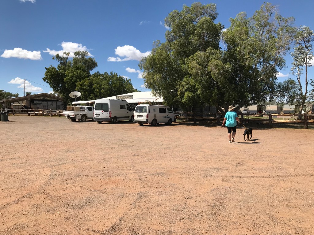
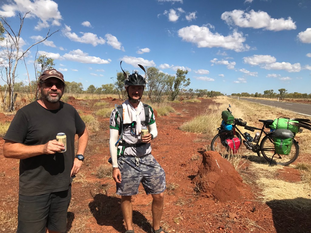
I’m feeling weary from this mosquito borne virus, most likely Barmah but I need to get a blood test to be certain. Maybe in Mount Isa ? Jenny did 90% of the driving today while I rested. We did stop at Burke and Wills Roadhouse for a very short time, they are obviously anti dogs there with “No Dogs” signs up at what seemed like every 3 metres. A little further on we come across Gernot from Germany a young bloke in his late 20’s who is cycling from Melbourne to Darwin via Tasmania during a pandemic. He arrived into Australia in 2019 and so far has ridden 13000kms. We shout him a beer as we don’t have any other cold drinks in our fridge.
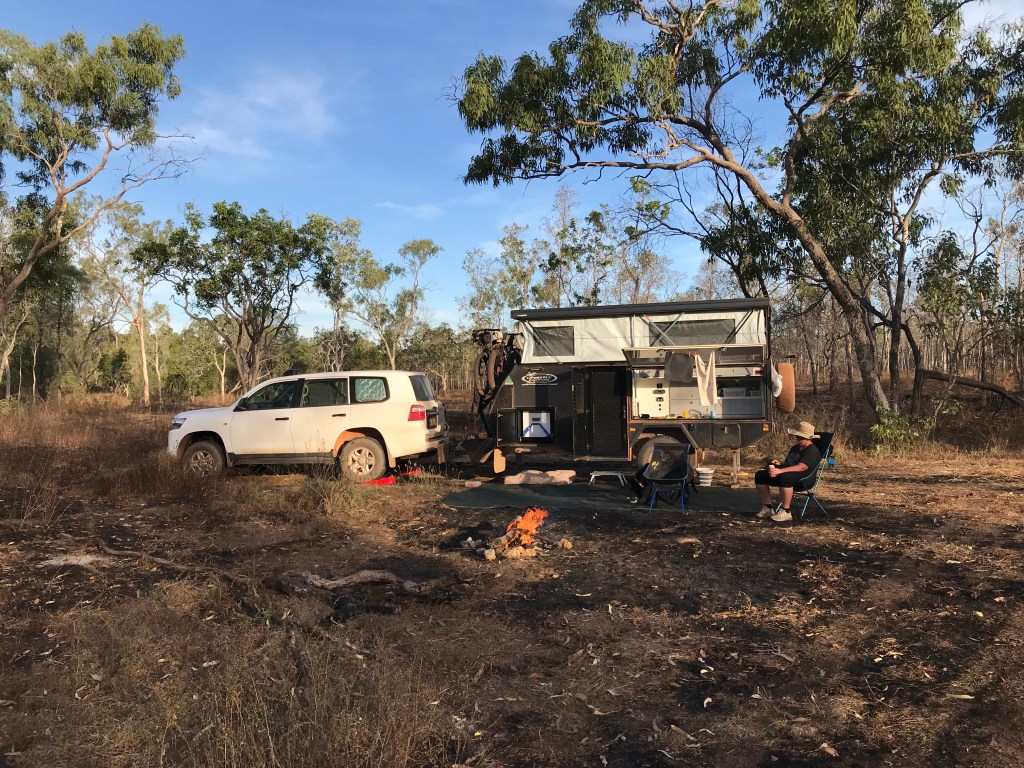
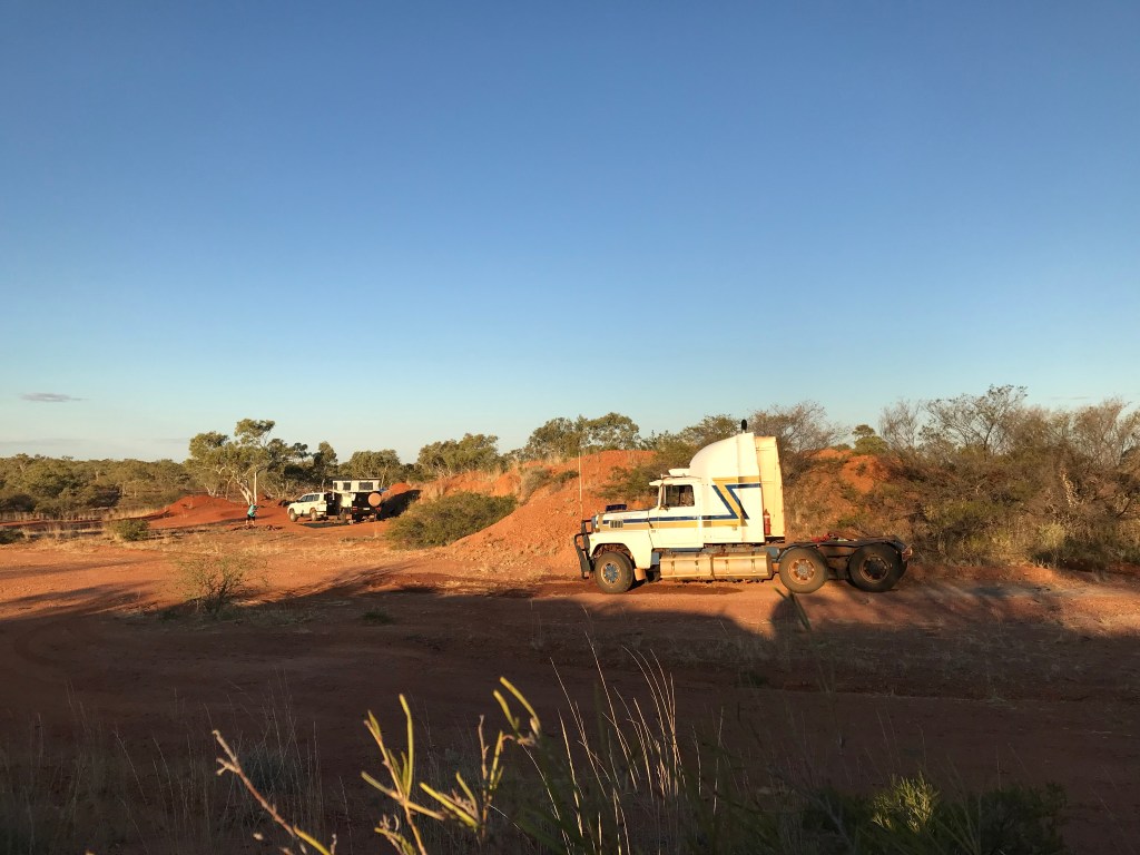
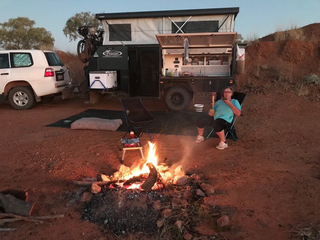
Come 3.30pm we have done 320kms, there is a gravel pit marked on WikiCamps about 2kms off the main road along Kajabiddi Road. We check it out. We find it’s a neat little Gravel Pit with a dead prime mover truck parked up in it. Someone has left fire wood behind for us, it turns into a glorious night, with a finger nail Moon and Venus hanging in the north western sky together. After hotdogs for dinner we’re off to bed by 9pm.

~~~~~~~~
Thanks for reading I hope you enjoyed. Pretty certain week 9 of this tour will become a memorable one for us. If you have time check out the 4 minute video on YouTube of our Michell River crossing. Until next time, Will, Jenny & Rodgie dog… out.
